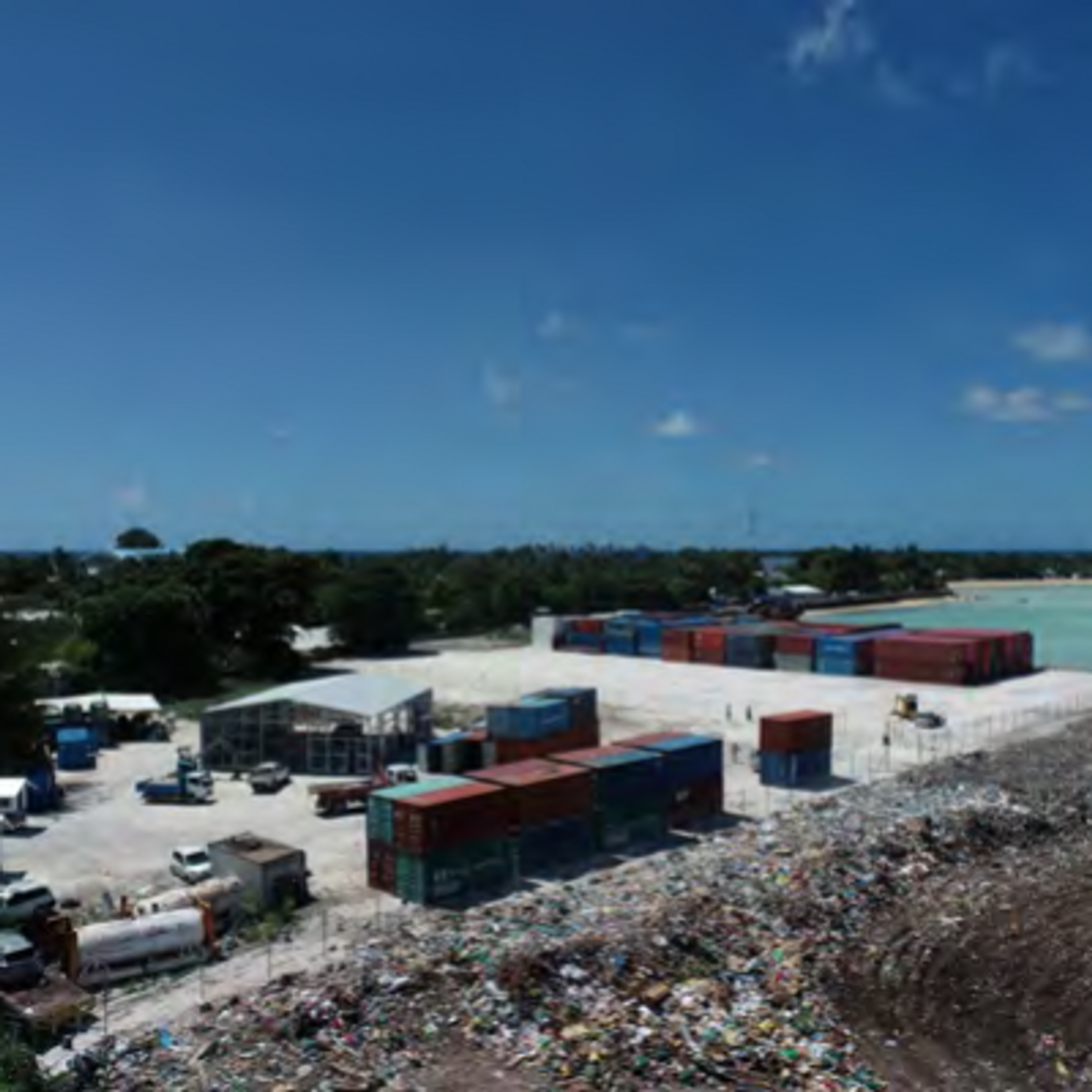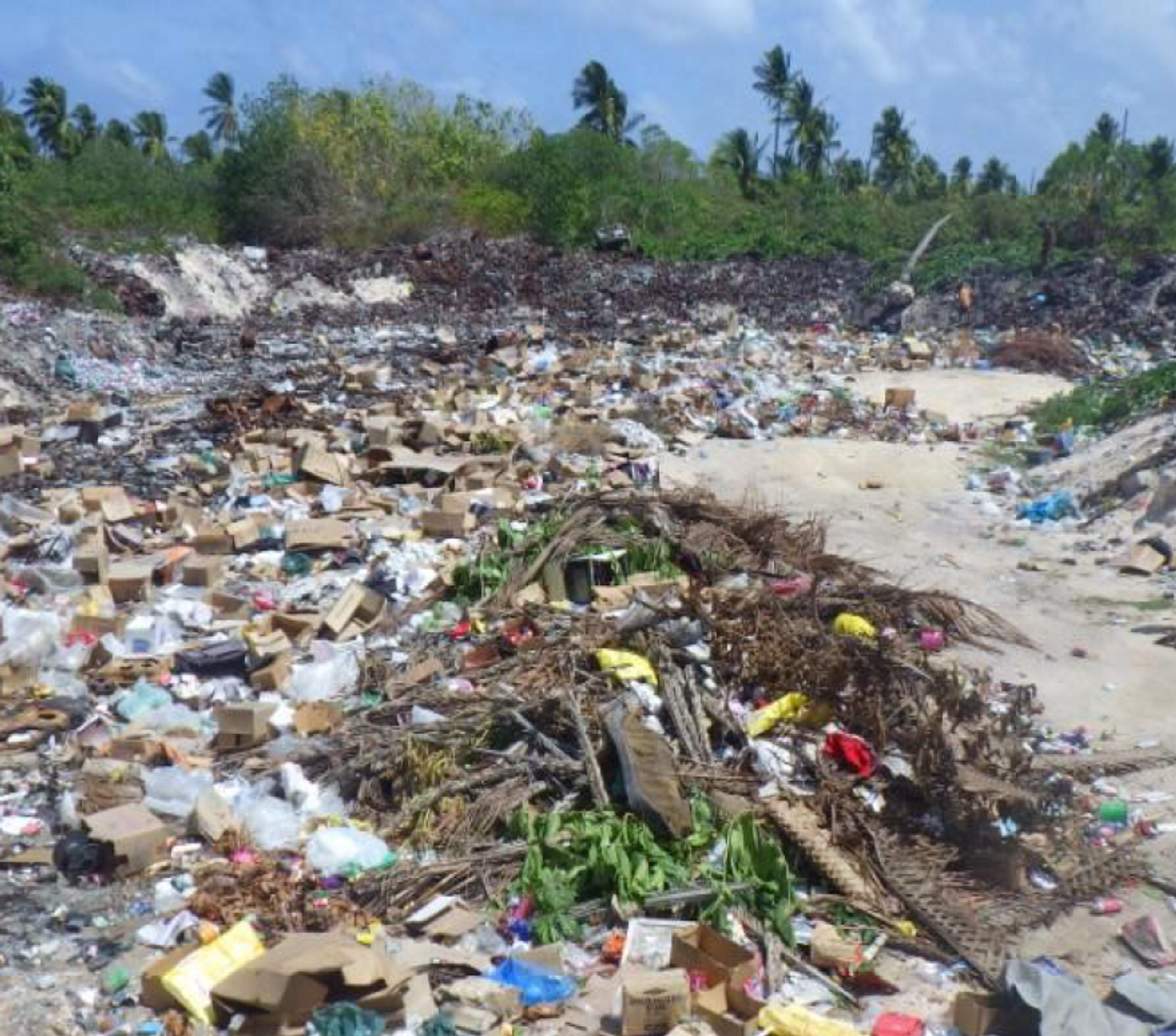
Drone surveys are giving Pacific waste programmes a clearer, safer picture of landfill volumes — better data for better decisions.
On Pacific waste programmes, knowing how much rubbish a landfill actually holds is harder than it sounds — and getting it wrong leads to poor decisions and wasted money.
Drone surveys are changing that. By mapping a site from the air, our teams can estimate volumes accurately and safely, without putting people onto unstable ground.
Better data means better decisions: where to invest, how fast a site is filling, and what a community's waste system needs next.